
Bibliographic Data
Title
1979 Science, Solar Eclipse Map 01
Subject
Maps
Description
"January 1979"
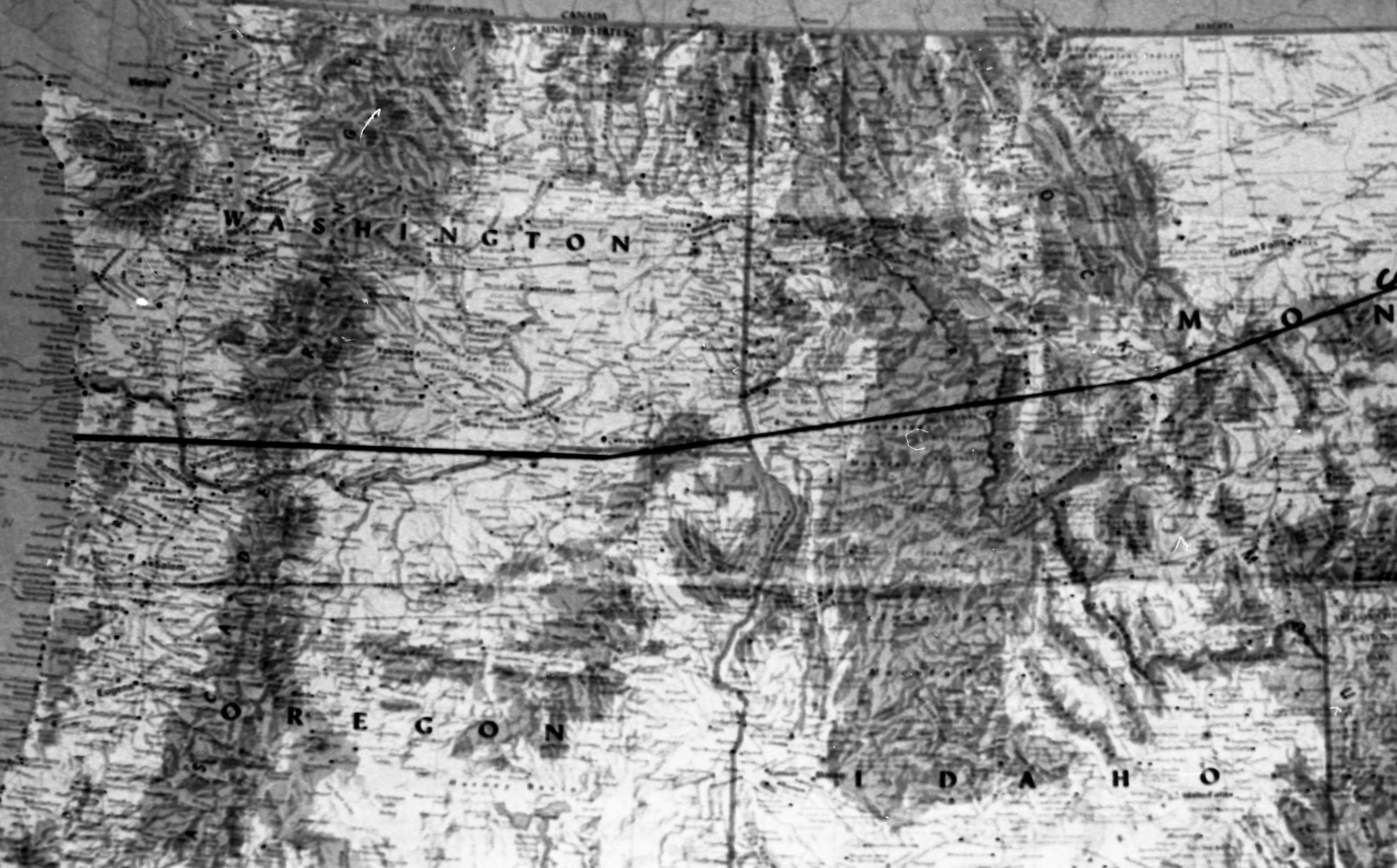
A line has been drawn on this map across the northwest corner of the United States to show where the upcoming Solar Eclipse will be visible from: Washington, parts of Idaho and Montana, and a portion of Oregon.
A line has been drawn on this map across the northwest corner of the United States to show where the upcoming Solar Eclipse will be visible from: Washington, parts of Idaho and Montana, and a portion of Oregon.
Creator
Claesgens, Mark
Date
1979-01
Rights
(c)Eastern Oregon University. This image is licensed under a Creative Commons Attribution - Noncommercial - No Derivative Works 3.0 United States License (http://creativecommons.org/licenses/by-nc-nd/3.0/us/). Acknowledgement of Eastern Oregon University as a source is required. For print quality images, prints, or high resolution tiff files, or commercial uses please contact the Library Director at Eastern Oregon University.
Identifier
2012.2.790005.018
Spatial Coverage
United States--Oregon--La Grande